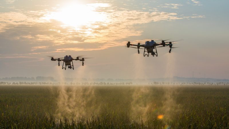
Dubai Drone Map To Plot Our Routes And Landing Locations
Saying that Dubai is a city of the future wouldn’t be wrong. It’s also a city of convenience – with plans already in place to have deliveries, including for your prescriptions, to be delivered by drone.
And soon, a map of drone routes across Dubai – which will outline low-altitude flight paths as well as landing and take-off destinations – will be available.
The aim is to make sure Dubai modernises and embraces new technology while making sure the population is completely safe.
It comes after an agreement was reached between Dubai Municipality and the Dubai Integrated Economic Zones (DIEZ).
Mariam Al Muhairi, Acting CEO of the Buildings Regulation and Permits Agency at the Municipality, said: “The agreements and strategic partnerships related to the Dubai Horizons System are in line with the aspirations of the Emirate of Dubai in the field of infrastructure for the aviation sector and the locations of airports and runways designated for drones.
“It ensures development services related to this sector and reinforces the attractiveness, leadership, and competitiveness of Dubai and its leading position in the industry.
“The MoU further supports the strategic cooperation and exchange of experiences and knowledge in the various fields of work of Dubai Municipality and DIEZ, and benefits from the joint services provided that enhance the Municipality’s efforts in adopting and supporting leading solutions in geographic information systems.”
@2022 Hostpot In Dubai. All Right Reserved
